Federal safety officials say traffic deaths are falling across the United States, but several California road stretches remain among the state’s most dangerous places to drive in 2026.
The National Highway Traffic Safety Administration estimated 36,640 traffic deaths nationwide in 2025, a 6.7 percent decline from 2024. California’s latest public state scorecard lists 4,061 traffic deaths in 2023, down from 4,539 in 2022.
I-15 Near Hesperia Leads California’s Deadliest List
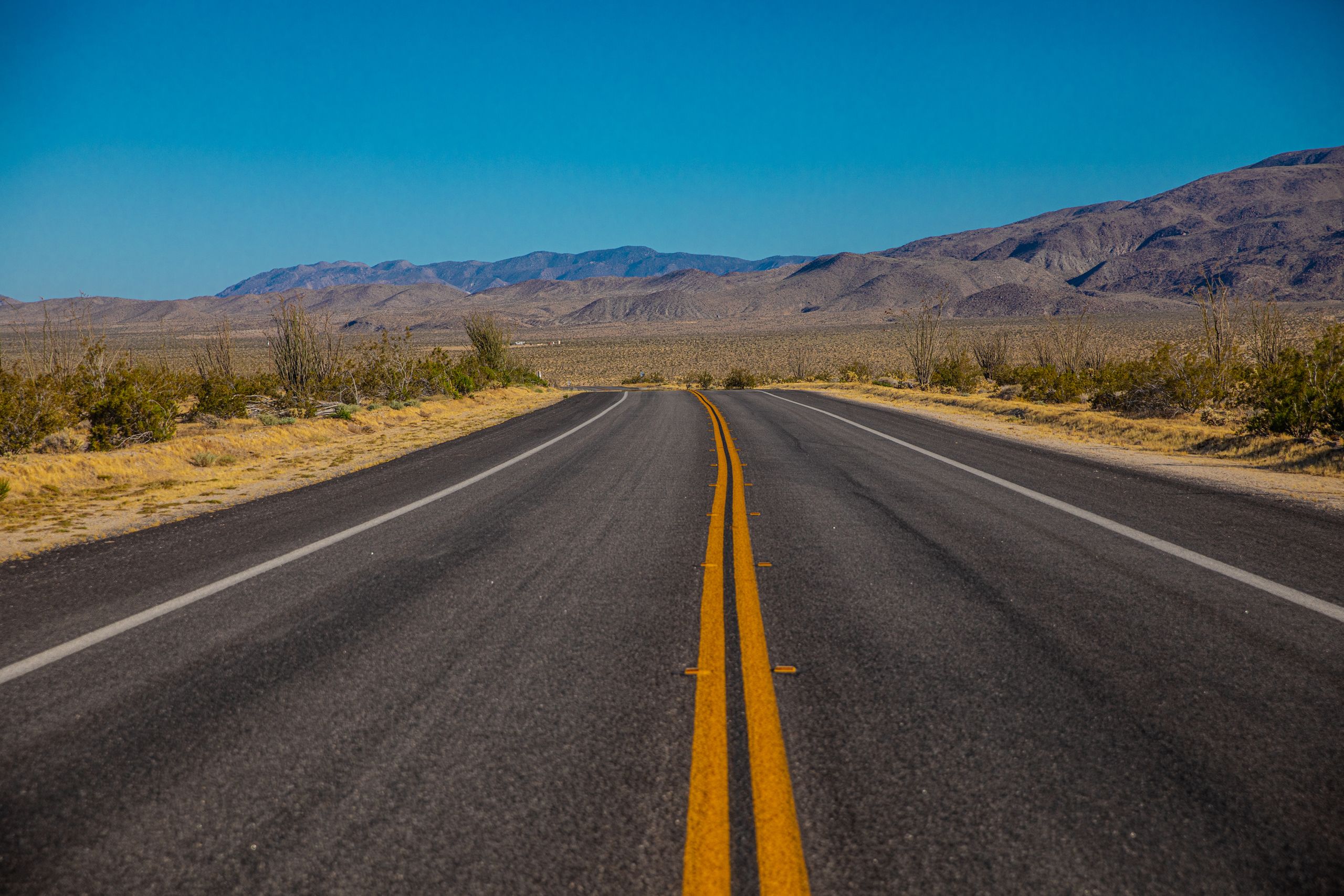
Interstate 15 between Exit 138 and Exit 129 in Hesperia remains California’s deadliest short road segment in a 2026 roadway analysis. The 4.5-mile stretch recorded 19 fatal crashes and 19 deaths during the review period.
A roadway study ranked the Hesperia segment first among the most fatal road stretches in California. The route sits north of San Bernardino and carries heavy traffic between Southern California, the High Desert, and Las Vegas.
The danger builds because the road often feels open before traffic tightens near the Cajon Pass. Drivers move from long desert stretches into steeper grades, heavier truck traffic, and faster lane changes.
California Deaths Fell, But Thousands Still Died
The California Office of Traffic Safety listed 4,061 California fatalities in 2023. The agency reported an 11 percent decline from 2022 and a mileage death rate of 1.26 deaths per 100 million miles traveled.
Alcohol impaired driving deaths fell from 1,419 in 2022 to 1,355 in 2023. Pedestrian deaths also declined, dropping from 1,213 in 2022 to 1,106 in 2023.
The decline does not remove the scale of the problem. More than 1,100 pedestrians died on California roads in 2023, and alcohol impaired crashes still killed more than 1,300 people.
I-80 Shows the Risk of Packed Freeways
Interstate 80 through the East Bay remains one of California’s most dangerous urban freeway corridors. A stretch near Albany, Berkeley, Emeryville, and Oakland recorded 15 fatal crashes and 17 deaths in the roadway analysis.
Another I-80 section near Richmond, El Cerrito, Pinole, and San Pablo recorded 13 fatal crashes and 18 deaths. The two segments show how fatal crashes can cluster across short distances in crowded metro areas.
The risk on I-80 comes from constant pressure. Drivers face packed lanes, sudden braking, merging traffic, lane weaving, and short reaction time during daily travel.
Sacramento’s I-5 Corridor Carries Heavy Crash Pressure
Interstate 5 remains one of California’s most important highways. It carries freight, commuters, farm traffic, and long-distance drivers through the middle of the state.
The Sacramento stretch from Del Paso Road to Railyards Boulevard has been identified as a high-risk segment. The road sits near downtown access points, regional traffic shifts, and busy freeway connections.
Caltrans published California highway data that tracks fatal crashes, injury crashes, crash rates, lighting, weather, and primary crash factors. Those records help officials spot repeated danger points on state highways.
Southern California Roads Face Speed and Congestion
Several Southern California roads remain on safety watch lists because they combine heavy traffic with aggressive driving. They include I-215 near San Bernardino, State Route 22 through Garden Grove, I-605 near Norwalk and Cerritos, and I-405 across Los Angeles and Orange counties.
These corridors carry commuters, airport travelers, delivery vehicles, and drivers moving between major freeway connectors. The crash risk grows when drivers tailgate, rush exits, or make sudden lane changes.
I-405 presents a specific danger because traffic changes speed quickly. A freeway that crawls for miles can open suddenly, and frustrated drivers often accelerate too hard when space appears.
State Route 17 Remains a Mountain Driving Test

State Route 17 between San Jose and Santa Cruz remains one of California’s most demanding drives. The route cuts through the Santa Cruz Mountains with tight curves, steep grades, blind spots, and heavy commuter traffic.
Local drivers may take the curves too fast because they know the road. Visitors may brake suddenly when the road tightens or visibility drops.
Rain raises the risk. Wet pavement, narrow shoulders, and heavy traffic leave drivers less time to correct a mistake.
Pacific Coast Highway Carries Scenic Road Risks
State Route 1, including parts of the Pacific Coast Highway, remains one of California’s most famous drives. It also carries risks that differ from major freeways.
In Big Sur, drivers face narrow lanes, cliffside curves, and limited shoulders. In Southern California, coastal sections near Malibu add beach traffic, parked cars, pedestrians, cyclists, and motorcycles.
The danger is not always high speed. A driver looking at the ocean can miss a stopped vehicle, a sharp curve, or a person near the road.
CHP Data Adds a Newer 2024 Layer
California officials now have newer raw crash records for review. The California Highway Patrol’s 2024 crash file was updated in May 2026, giving researchers and agencies more recent collision records.
Raw crash files often need time before they appear in public summary reports. That means California’s 2026 road safety picture includes federal 2025 estimates, state 2023 scorecard data, and newer CHP records still being reviewed.
The data helps agencies track crash locations, collision types, timing, and repeated risk factors. It also supports enforcement plans, road design reviews, and public safety campaigns.
Speed Turns Small Errors Into Fatal Crashes
Speed remains one of the clearest factors on California’s worst roads. It cuts reaction time and makes crashes more severe.
Distracted driving adds another risk. A phone glance, a late merge, or a missed brake light can turn deadly on fast-moving freeways.
Fatigue is also dangerous on long routes such as I-15 and I-8. Drivers may feel alert for hours, only to react too late when traffic slows, the weather changes, or lanes narrow.
California Drivers Face a Clear 2026 Warning
The latest national numbers show traffic deaths are falling, but California’s deadliest road stretches remain active danger zones. I-15 near Hesperia, I-80 in the Bay Area, I-5 in Sacramento, and several Southern California corridors continue to demand extra caution.
State and federal agencies are still reviewing crash patterns through public data, highway records, and updated CHP files. Drivers can lower their risk by slowing down, leaving more space, avoiding impaired driving, and stopping before fatigue takes over.
California’s most dangerous roads are not always long or remote. Some of the deadliest stretches are only a few miles long, and one poor decision can be enough to make them fatal.