Bulverde officials said several roads remained closed Monday, June 15, after heavy rainfall pushed water across key local routes and created unsafe driving conditions in the Texas Hill Country city.
The City of Bulverde listed three road closures in its latest high water alert: Scenic Oak at Lewis Creek, E. Amman between Cibolo Way and Persimmon, and Heimer Lange at Highway 281. Public Works crews were monitoring the affected areas as conditions changed.
Bulverde identifies flooded roads.
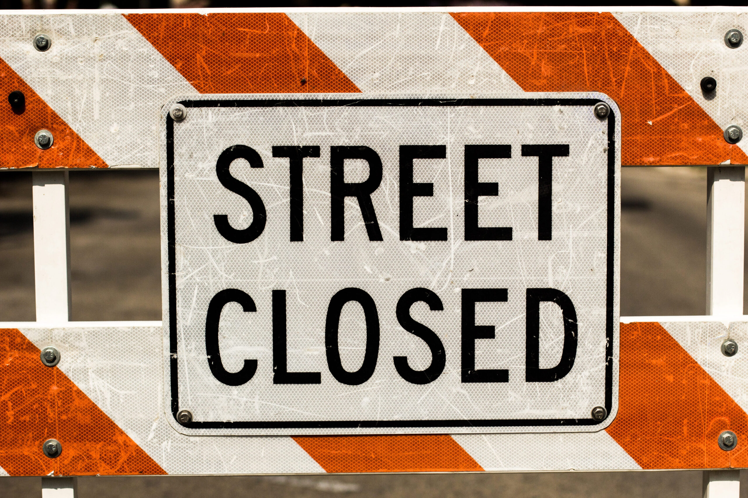
The city said Scenic Oak at Lewis Creek was closed as a precaution. Officials also reported water over the road on E. Amman between Cibolo Way and Persimmon.
Heimer Lange at Highway 281 was also listed as a high-water location. The notice urged drivers not to attempt flooded crossings and repeated the safety message, “Turn Around, Don’t Drown.”
The closures were issued for public safety as rising water affected local roadways. No reopening time was included in the city’s update.
Public Works crews monitor conditions.
Bulverde’s Public Works Department was actively checking road conditions Monday, city officials said. Crews were expected to keep assessing the affected areas as rainfall, runoff, and water levels changed.
Road closures during high water events can change quickly in Hill Country communities. A road that appears passable can become unsafe within minutes if the creek flow increases or the drainage channels back up.
The city also warned drivers that the Comal County Road Closure Map is managed by Comal County, not Bulverde. Officials said closure information may not update immediately.
A flood watch covered South Central Texas.
The road closures came as the National Weather Service office for Austin and San Antonio kept a Flood Watch in effect for South Central Texas through 7 p.m. Tuesday, June 16. The office said heavy rain and lightning were expected, with isolated pockets of more than 8 inches possible.
The weather service warning covered a broader area than Bulverde. Still, the alert reflected the same risk facing local drivers: fast-rising water on streets, creeks, and low crossings.
Bulverde sits in Comal County, where heavy rain can drain quickly through creeks and low-lying roadways. That geography can make short-distance travel dangerous during storms.
The San Antonio region also saw flooding.
The storm system affected communities beyond Bulverde. MySA reported flooding in San Antonio on Monday morning, with flood warnings across parts of the region and rainfall totals reaching several inches in some locations.
The same report cited rainfall between 4 and 7 inches in some areas. It also noted that more rain was expected as the storm pattern continued.
Regional flooding can create problems even for drivers outside the heaviest rain zone. Water can move downstream from areas that received more rain, causing creeks and crossings to rise after rainfall eases nearby.
Drivers urged to avoid high water.
The National Weather Service warns against flooded roads, noting that road surfaces may be damaged or washed out beneath the water. The agency says 12 inches of rushing water can carry away most cars, while 2 feet of rushing water can carry away SUVs and trucks.
Floodwater can also hide debris, pavement damage, stalled vehicles, and missing road shoulders. Drivers often cannot judge depth or current strength from inside a vehicle.
Officials say motorists should never drive around barricades. If water is covering the roadway, the safest response is to turn around and find another route.
Closures affect local travel.
The listed closures could affect residents trying to reach homes, businesses, schools, medical appointments, and Highway 281. Heimer Lange’s location near Highway 281 makes that crossing especially important for local movement.
E. Amman between Cibolo Way and Persimmon may also disrupt neighborhood travel. Drivers who use that route regularly may need to plan extra time or take a different path.
Scenic Oak at Lewis Creek was closed before conditions worsened, city officials said. Precautionary closures are often used when crews see water rising or expect a crossing to become unsafe.
Road maps may lag behind conditions.
The city’s notice made clear that online closure maps may not reflect fast-moving changes. Flooding can develop faster than crews can update every public tool.
That means drivers should not rely only on navigation apps or county maps during active storms. A route may appear open online while water is already covering the road.
Residents should treat visible water, barricades, and official alerts as the strongest warning. If a crossing looks unsafe, drivers should not enter it.
Local officials thank crews.
The city thanked Public Works crews for their efforts during the weather event. Those crews were checking roadway conditions and helping keep the public away from dangerous crossings.
Crews often work in poor visibility, rain, and fluctuating water levels during high-water events. Their assessments help determine when roads should remain closed or reopen.
Bulverde officials said they would provide updates as conditions changed. As of the city’s latest notice, drivers were still being told to avoid flooded roads and use caution across the area.