Residents in parts of the western United States may need to prepare for a change in weather as a new National Oceanic and Atmospheric Administration (NOAA) outlook points to a risk of heavy snowfall in mountainous areas next week.
The latest forecast identifies California, Oregon, and Nevada among the states that could experience winter weather conditions between November 14 and 17, 2026. However, the risk varies across the three states, and the strongest signal for heavy snow is concentrated in higher-elevation areas.
The outlook was issued by NOAA’s Climate Prediction Center on November 6 and highlights a developing weather pattern that could bring additional moisture to parts of the West Coast.
For people living in mountain communities, planning outdoor activities or traveling through higher elevations, the forecast is worth watching as the weekend approaches.
Which Three States Are Included in the Snow Outlook?
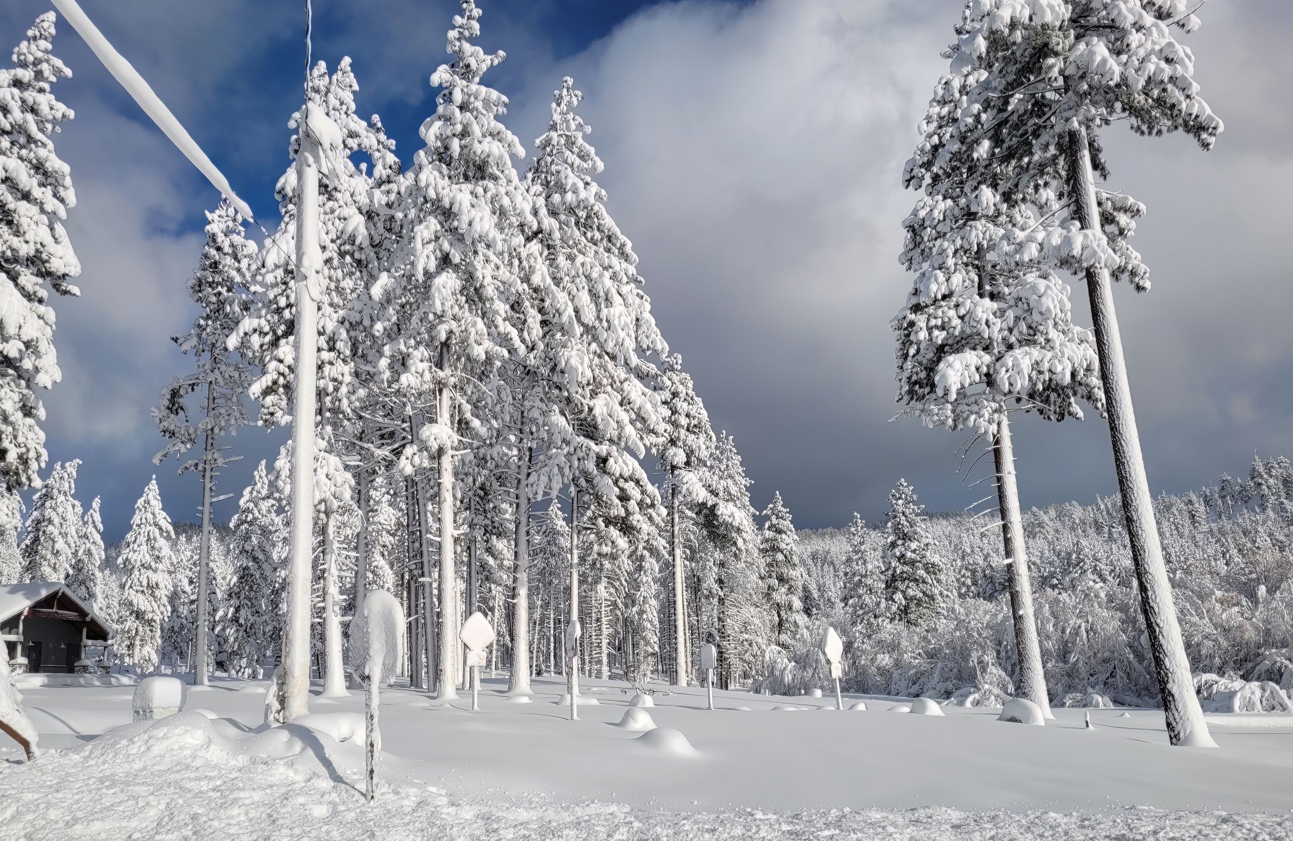
The NOAA outlook map highlights parts of California, Oregon, and Nevada as areas to watch for possible heavy snow.
In California, the forecast identifies portions of the northern and eastern parts of the state, particularly areas around the Sierra Nevada Mountains. These higher elevations face a moderate risk of heavy snowfall on November 14 and 15.
Oregon is also included, with attention on the Klamath Mountains and surrounding higher terrain. The outlook identifies a moderate risk of heavy snow at high elevations in the Klamath region during the same weekend period.
Western Nevada is included in the broader area highlighted by the outlook. However, the risk categories matter: NOAA identifies a moderate risk of heavy snow in the Klamath and Sierra Nevada Mountains, while some surrounding high-elevation areas, including parts of the Great Basin, have a slight risk.
This means residents should not interpret the map as a prediction that every community in these three states will experience heavy snowfall.
The forecast focuses mainly on mountainous terrain, where colder conditions can support snow even when lower elevations get rain.
When Could the Snow Arrive?
The highest heavy-snow risk in the current outlook is for November 14 and 15.
NOAA’s Climate Prediction Center identifies a moderate risk of heavy snow across higher elevations of the Klamath and Sierra Nevada Mountains during this period.
A moderate risk in this outlook represents a 40% to 60% probability of the specified hazard. The agency also identifies a slight risk of heavy snow extending through November 17 across additional high-elevation areas, including the Cascades, Klamath and Sierra Nevada ranges, and portions of the Northern Intermountain region, Great Basin, and Central and Northern Rockies.
The forecast does not provide a confirmed snowfall total for every affected location. It also does not mean that a major winter storm is guaranteed to develop exactly as currently predicted.
Weather patterns can change as a system approaches so that future updates may adjust the timing, location, and strength of snowfall.
The National Weather Service defines heavy snow using specific accumulation thresholds: at least four inches within 12 hours or six inches within 24 hours. These thresholds help explain why the agency treats certain snowfall events as significant.
What Is Behind the Changing Weather Pattern?
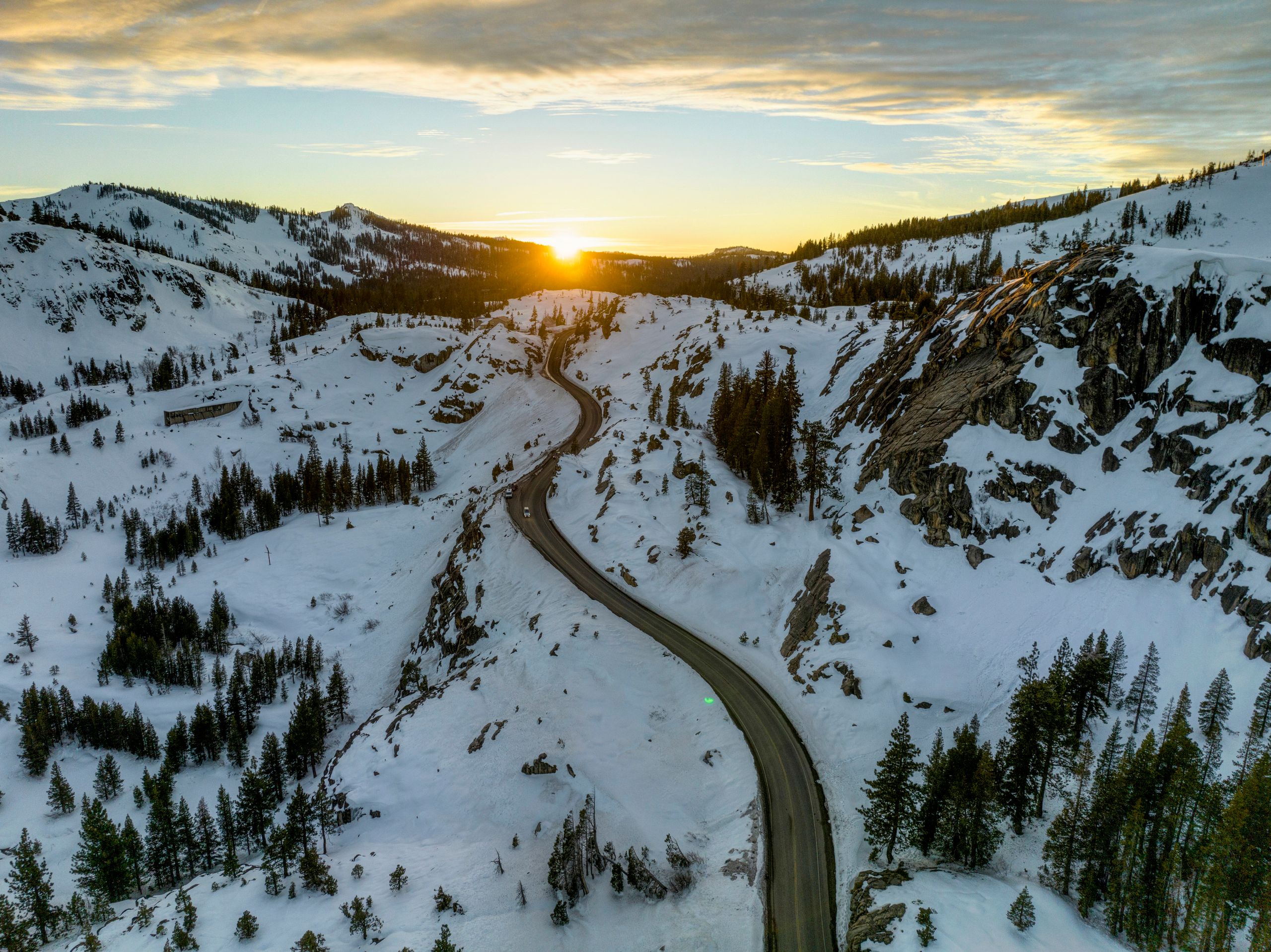
According to NOAA’s forecast discussion, a low-pressure system developing near the West Coast could help draw moisture into parts of the Pacific Northwest and northern and central California.
This pattern may bring increased precipitation to the region, with snow possible at higher elevations where temperatures are cold enough.
The same weather outlook also identifies a risk of strong winds along portions of the West Coast. Coastal areas of Washington, Oregon, and much of California are included in the moderate high-wind risk for November 14 and 15.
Although the developing system could bring useful moisture to some areas, it may also create travel challenges in mountain locations if snow and strong winds occur together.
The forecast does not yet establish how much snow will accumulate at individual ski resorts, mountain roads, or residential communities. Those details will depend on how the weather system develops and where the coldest conditions occur.
People planning trips through the affected mountain areas should watch local weather updates rather than relying only on the national outlook map.
What Residents Should Watch For
The latest NOAA outlook provides an early indication of where winter weather could become more noticeable next week. It is particularly relevant to people living in or traveling through higher elevations of California and Oregon, as well as nearby areas of Nevada.
Drivers should monitor road and weather conditions before traveling through mountain passes. Snowfall, reduced visibility,, and strong winds can make some routes harder to navigate.
Residents should also follow updates from their local National Weather Service offices because forecasts can become more specific as the expected weather period gets closer.
For now, the November 14–15 period is the main window to watch for the highest heavy-snow risk in the Klamath and Sierra Nevada Mountains.
The outlook is an early forecast, not a guarantee of widespread snowfall across the three states. Further updates should clarify which communities and mountain routes could be affected.