A new El Niño threat is building in the tropical Pacific, and this one is arriving in a world with little climate slack left. The oceans are warmer, the atmosphere is holding more moisture, food systems are already under pressure, and extreme weather now shifts from a warning sign to a public emergency faster than ever.
We are not watching a small ocean fluctuation. We are watching one of Earth’s most powerful climate patterns begin to reload during a period of record heat. Forecast models increasingly point to El Niño conditions through 2026, with some scenarios suggesting a strong or even exceptional event before the year is over.
That does not mean every place will burn, flood, or dry out at once. El Niño never works that neatly. But it does mean the planet may be heading into a familiar danger zone with a much less forgiving background: hotter air, warmer seas, heavier rainfall bursts, sharper droughts, and fewer margins for farmers, cities, power grids, insurers, and families.
The El Niño Forecast Is No Longer Easy to Ignore
El Niño begins in the central and eastern equatorial Pacific, but its reach rarely stays there. When sea surface temperatures rise across the Niño 3.4 region, the change can weaken trade winds, disrupt tropical rainfall, shift jet streams, and alter weather patterns across continents.
That is why forecasters are watching the Pacific so closely now. Several major climate agencies have moved from cautious signals to much stronger warnings that El Niño is likely to develop and persist. The World Meteorological Organization has placed the odds of El Niño forming during June through August at about 80%, with probabilities near or above 90% that it continues into later months.
The U.S. Climate Prediction Center has also warned that El Niño is likely to emerge soon and continue through the Northern Hemisphere winter. That winter timing matters because El Niño often has its clearest influence during late fall, winter, and early spring, especially in North America, parts of South America, southern Africa, Australia, and Southeast Asia.
The real question is not only whether El Niño forms. The sharper question is how strong it becomes, how long it lasts, and whether the atmosphere fully couples with the warming ocean. A warm Pacific alone is not the whole story. The wind patterns, pressure systems, cloud changes, and subsurface heat all have to line up for a truly powerful event.
Why the “Strongest Ever” Claim Needs Care
Some seasonal model runs have suggested sea surface temperature anomalies in the Niño 3.4 region could climb into territory that would challenge or even exceed past record El Niño events. That is the alarming part of the forecast, and it is why the phrase “strongest ever recorded” has begun to circulate in climate coverage.
But we should read that phrase carefully. A forecast is not a measurement. A model scenario is not the final ocean temperature. The strongest historical El Niño events, including 1997 to 1998 and 2015 to 2016, were not just warm on paper. They produced powerful ocean-atmosphere coupling, major global weather disruptions, and clear observed peaks in the Pacific.
This year’s outlook contains real risk, but also real uncertainty. Official forecasters have been careful to note that while El Niño development is highly likely, the exact peak strength is not yet locked in. Some models show a moderate event. Some allow for a strong event. A smaller group points toward something more extreme.
That uncertainty does not weaken the warning. It makes the warning more important. We are dealing with a climate pattern that can rapidly reshape rainfall, heat, storms, crop yields, and disaster risk. Waiting for perfect certainty is how communities get caught flat-footed.
The Pacific Is Carrying a Dangerous Heat Signal

One reason scientists are paying close attention is the heat below the ocean surface. El Niño often strengthens when warm water stored beneath the tropical Pacific rises toward the surface and reinforces warming across the central and eastern ocean.
That subsurface heat can act like a loaded battery. If trade winds weaken and the ocean-atmosphere feedback kicks in, that stored warmth can help push surface temperatures higher. This is why a borderline surface signal can quickly become a much more serious event once the atmosphere begins to respond.
In simple terms, the Pacific does not need to start from zero. The background ocean is already warm, and the subsurface signal gives the developing pattern more fuel. That does not guarantee a record event, but it raises the stakes of the forecast.
The danger is not limited to the Pacific. When El Niño transfers extra heat into the atmosphere, it can raise global temperatures, shift rain belts, and intensify extreme weather far from the equator. A warmer ocean does not just change maps. It changes harvests, reservoirs, electric bills, disease risks, wildfire conditions, and flood exposure.
Why This El Niño Feels More Dangerous Than Older Ones
Past El Niño events were powerful enough to cause global disruption even before the planet reached today’s level of warming. Now the same climate pattern is forming on top of a hotter baseline.
That difference matters. A heatwave in a cooler climate background is dangerous. A heatwave during a record-warm climate background can become deadlier faster. A heavy rainstorm in a warmer atmosphere can unload more water. A drought in a hotter world can dry soils faster, stress crops harder, and raise wildfire danger more quickly.
This is why scientists keep emphasizing that El Niño is natural, but its impacts are no longer occurring in a purely natural climate system. Human-driven warming has changed the stage on which El Niño performs. The event may come and go, but the elevated baseline remains.
We saw a warning shot in 2023 and 2024. The last El Niño helped push global temperatures into record territory, and 2024 became the warmest year on record. It was also the first calendar year measured above 1.5°C compared with pre-industrial levels. One year above that mark does not mean the Paris Agreement limit has been permanently breached, but it shows how close the world is to dangerous thresholds.
How El Niño Can Distort Weather Around the World
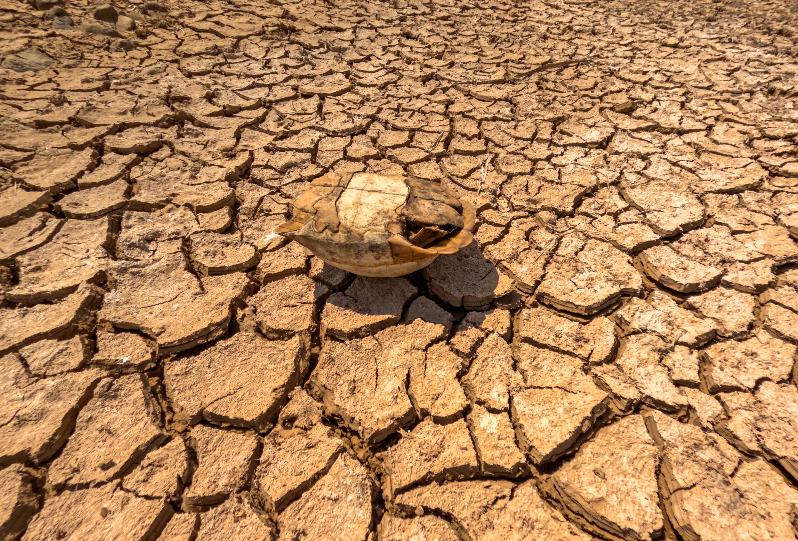
El Niño does not produce one single weather outcome. It changes the odds. In some regions, it raises the chance of drought. In others, it raises the chance of flooding. In some places, it suppresses storms. In others, it feeds heat, disease, crop stress, or ocean damage.
Australia and parts of Southeast Asia often face hotter and drier conditions during El Niño, which can raise wildfire risk and strain agriculture. Parts of South America can see heavier rainfall and flooding, while other areas may face drought. Southern Africa can become vulnerable to reduced rainfall and food stress. The southern United States often sees wetter winter conditions, while parts of the northern United States and Canada can experience milder winter patterns.
The Atlantic hurricane season can also be affected. El Niño tends to increase wind shear over the Atlantic, which can reduce hurricane formation. But that does not erase danger. A quieter season can still produce a catastrophic landfall if one storm hits the wrong coast at the wrong time.
This is the uncomfortable truth about El Niño: it does not need to break every record to cause damage. A moderate or strong event can still punish fragile systems when it lands on top of existing drought, conflict, inflation, weak infrastructure, or food insecurity.
The Food Risk May Be the Most Immediate Warning
El Niño is not just a weather story. It is a grocery store, a farming store, and a hunger store.
When rainfall patterns shift, crops feel it first. Too little rain can reduce planting, shrink yields, and weaken pasture. Too much rain can flood fields, delay harvests, spread crop disease, and damage storage. Heat can stress rice, wheat, corn, soybeans, cocoa, coffee, palm oil, and livestock.
The problem becomes more severe because the world’s food system is already exposed. Many countries are still dealing with high food prices, fertilizer costs, supply chain stress, conflict, and extreme weather damage from previous seasons. A strong El Niño can push those pressures into the same calendar year.
Asia is especially important because of rice, wheat, and palm oil production. Australia’s wheat belt, India’s monsoon-sensitive farming regions, Thailand’s rice fields, and Indonesia’s plantation zones can all matter far beyond their borders. If weather cuts production in one major region, import-dependent countries can feel the price shock months later.
For American readers, that means El Niño can show up in ways that feel distant at first, then personal later. It can appear in higher food prices, insurance costs, energy demand, produce shortages, disaster spending, and supply chain instability.
The United States Could See a Split Weather Pattern
In the U.S., El Niño often brings a more active southern storm track during winter. That can mean wetter conditions across parts of California, the Gulf Coast, and the Southeast. It can also mean increased flood risk if storms repeatedly hit the same saturated areas.
At the same time, parts of the northern U.S. may be warmer than usual during winter. Snow patterns can change, heating demand may shift, and regions that depend on mountain snowpack can face complicated water outcomes depending on where storms land.
California is always watched closely during El Niño years because strong events have sometimes brought heavy rain. But El Niño is not a simple “California flood switch.” The state can see major storms, but the exact outcome depends on atmospheric rivers, storm tracks, soil conditions, reservoirs, burn scars, and timing.
For the Gulf Coast and Southeast, extra winter rainfall can reduce drought in some places while increasing flood concerns in others. For farmers, utilities, emergency managers, and homeowners, the best response is not panic. It is preparation before the pattern becomes obvious on the evening news.
Why Ocean Forecasts Can Change Quickly
Seasonal forecasts are powerful, but they are not crystal balls. ENSO forecasts are especially tricky during spring because of a well-known challenge called the spring predictability barrier. During March, April, and May, the tropical Pacific can be harder to forecast because ocean-atmosphere signals are still developing.
By late May and June, confidence often improves as the atmosphere begins responding more clearly to ocean warming. That is why the latest model signals matter more than early spring speculation. The closer we get to summer and fall, the more forecasters can judge whether the ocean and atmosphere are locking together.
Still, strength remains the hardest part. A forecast can correctly predict El Niño and still miss its peak intensity. A model can show a strong event months in advance, only for trade winds, tropical convection, or surrounding ocean patterns to weaken the outcome.
That is why the responsible view is this: El Niño is highly likely, a strong event is possible, and a record-challenging event cannot be dismissed. But the final ranking will only be known after the ocean actually gets there.
The Climate System Is Sending a Broader Message
It would be a mistake to treat this El Niño as an isolated headline. The bigger story is the collision between natural climate cycles and long-term human-driven warming.
El Niño and La Niña have always existed. They are part of Earth’s natural rhythm. But today they operate inside a warmer atmosphere and ocean system, where extremes can become more intense and more expensive. That is why the same climate pattern that once caused severe disruption can now produce even larger consequences.
A hotter atmosphere holds more water vapor. Warmer oceans feed marine heatwaves and coral stress. Drier soils intensify heat. Stressed forests burn more easily. Cities trap heat. Power grids face higher cooling demand. Insurance systems strain under repeated disasters.
El Niño is the trigger people notice. The warmer planet is the amplifier people cannot afford to ignore.
What Governments and Families Should Watch Next
The next few months will be critical. We should watch the Niño 3.4 temperature anomalies, trade wind behavior, subsurface heat movement, rainfall shifts across the tropical Pacific, and official updates from WMO, NOAA, IRI, and national weather agencies.
Governments should be preparing now for flood control, drought response, food security planning, wildfire readiness, heat alerts, disease monitoring, and emergency communication. Farmers need regional guidance before planting decisions become irreversible. Utilities need demand planning. Cities need heat and flood protocols that reach vulnerable neighborhoods first.
Families do not need to become climate scientists. But they should pay closer attention to local forecasts, insurance coverage, emergency supplies, heat safety, flood risk, and water restrictions. El Niño is global, but its consequences are local.
The households that prepare early are usually not the ones making dramatic decisions during the crisis. They are the ones checking drainage, storing essentials, reviewing evacuation plans, protecting documents, and taking heat warnings seriously before everyone else catches up.
The Real Warning Is Not Just El Niño
The coming El Niño may become strong. It may become very strong. It may even challenge records if the most aggressive forecasts are verified. But the most important warning is already clear: the world is now so warm that every major climate swing carries heavier consequences.
We should not wait for the final ranking before taking this seriously. The difference between a strong El Niño and the strongest El Niño ever recorded may matter for climate history, but communities do not experience history as a chart. They experience it as flooded streets, failed crops, dangerous heat, burned hillsides, closed schools, higher food prices, and emergency alerts that arrive too late.
The Pacific is warming. The models are flashing. The official agencies are warning. The planet is already running hot. That is enough reason to prepare.